When a massive wildfire swept through the Cairngorms in July, dramatic walls of flame captured attention across the region. While those surface infernos have long since disappeared, the emergency response has shifted toward a far more elusive and insidious threat: fires continuing to burn out of sight, deep beneath the earth.
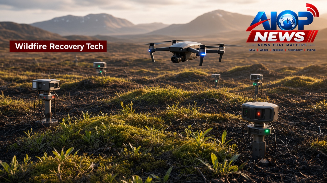
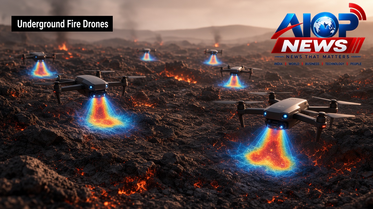
To tackle this subterranean hazard, response teams are turning to modern technology. Advanced aerial drones are now being deployed across the Cairngorms landscape to detect and hunt down hidden hot spots that remain buried beneath the soil, preventing potential flare-ups long after the initial blaze appeared to be over.
The Silent Danger of Subterranean Hot Spots
Wildfires on rugged moorlands and upland terrain do not always conclude when the surface flames die down. Even after charred vegetation ceases to burn in plain view, intense thermal energy can penetrate deep into the ground. These underground hot spots can smoulder undetected for weeks or even months, insulated by layers of organic matter, roots, and dry soil.
Because these hidden fires remain subterranean, they can continue to consume matter underground without generating significant visible smoke during the day. If strong winds pick up or surface conditions dry out, a single undetected hot spot can breach the surface, reigniting vegetation and triggering a fresh crisis across an already damaged ecosystem.
How Drone Technology Is Hunting Hidden Heat
Searching for underground hot spots across vast, difficult terrain on foot is both labour-intensive and hazardous. That is where developments in modern Technology have transformed post-fire surveillance and monitoring operations.
By taking to the skies, drones provide a vital aerial vantage point that covers vast expanses of ground quickly and safely. Rather than relying on human eyesight to spot wisps of smoke or glowing embers, unmanned aerial systems offer continuous surveillance from above. Operators can methodically map burnt zones, pinpointing areas where ground temperatures remain unusually elevated beneath the surface layer.
Protecting the Cairngorms Landscape
The Cairngorms represent one of the country's most ecologically valuable environments. A massive wildfire can leave enduring scars on the land, and repeated burning poses severe risks to natural habitats. By using drones to hunt subsurface fires, monitoring crews can locate smouldering patches with precision, allowing ground teams to direct targeted cooling measures precisely where heat remains trapped.
This surgical approach eliminates the need to traverse and disturb fragile, recovering ground unnecessarily. Instead, aerial data guides ground workers straight to the remaining hot spots, significantly accelerating the mop-up phase and securing the perimeter against secondary outbreaks.
The Growing Role of Tech in Wildfire Response
The operation in the Cairngorms underscores a broader transformation in how land managers and emergency teams handle the aftermath of large-scale wildfires. As remote-sensing systems and aerial platforms become more sophisticated, their integration into environmental safety and emergency services is proving indispensable.
Drones not only protect ground personnel from the risks of walking over unstable, burning ground, but they also offer a cost-effective, scalable way to track long-term recovery and monitor hidden risks across expansive landscapes.
Conclusion
Although the dramatic flames of the July wildfire have vanished from the surface of the Cairngorms, the danger remains buried underfoot. Through the careful deployment of drone surveillance, teams are ensuring that subterranean hot spots are identified and neutralised, safeguarding the landscape from reignition.
To read more about this operation, see the original coverage reported by the BBC.